Hi-res terrain · Aluminum & brass · 5-axis CNC · Three finishes · Custom engraving · Any place on Earth ·
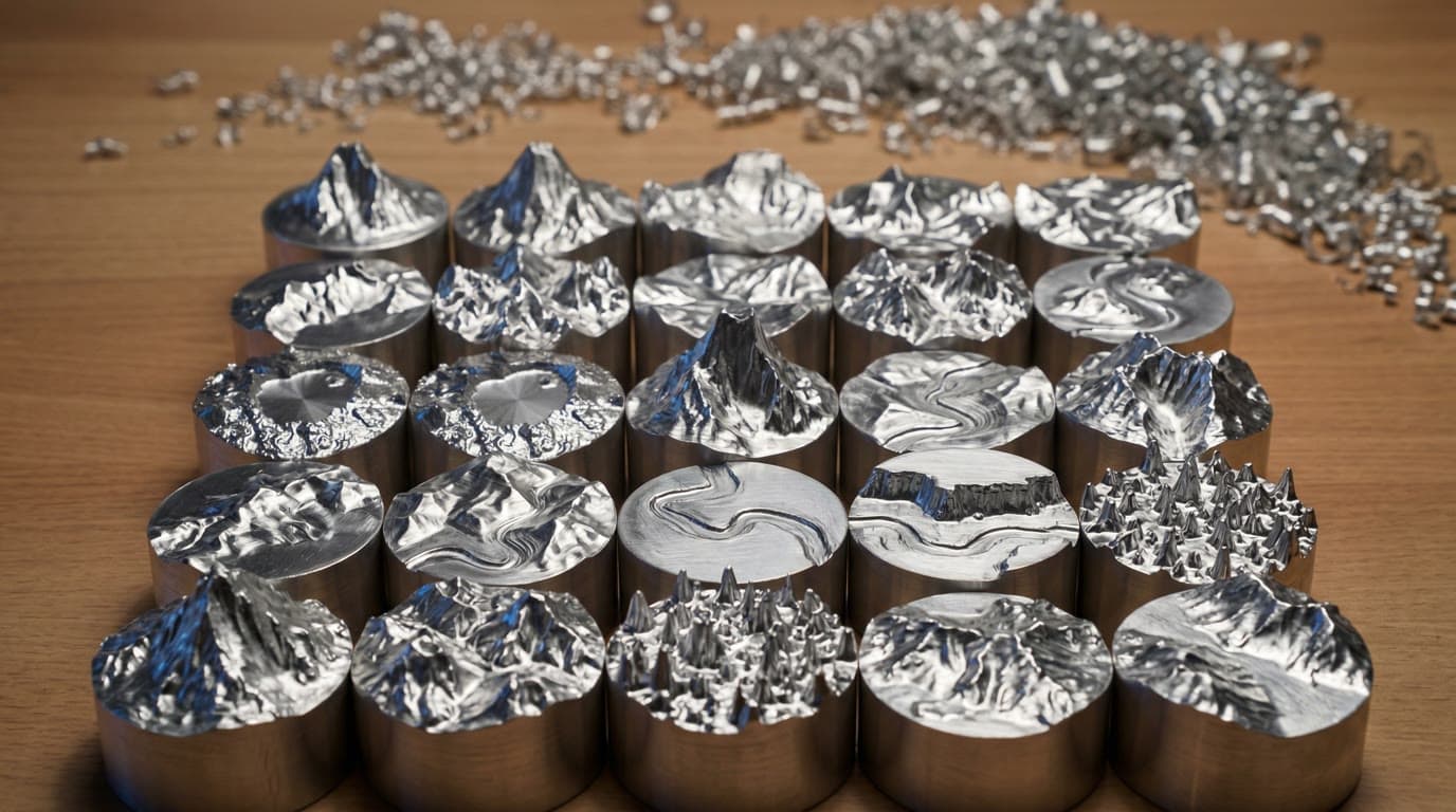
01Hi-res terrain
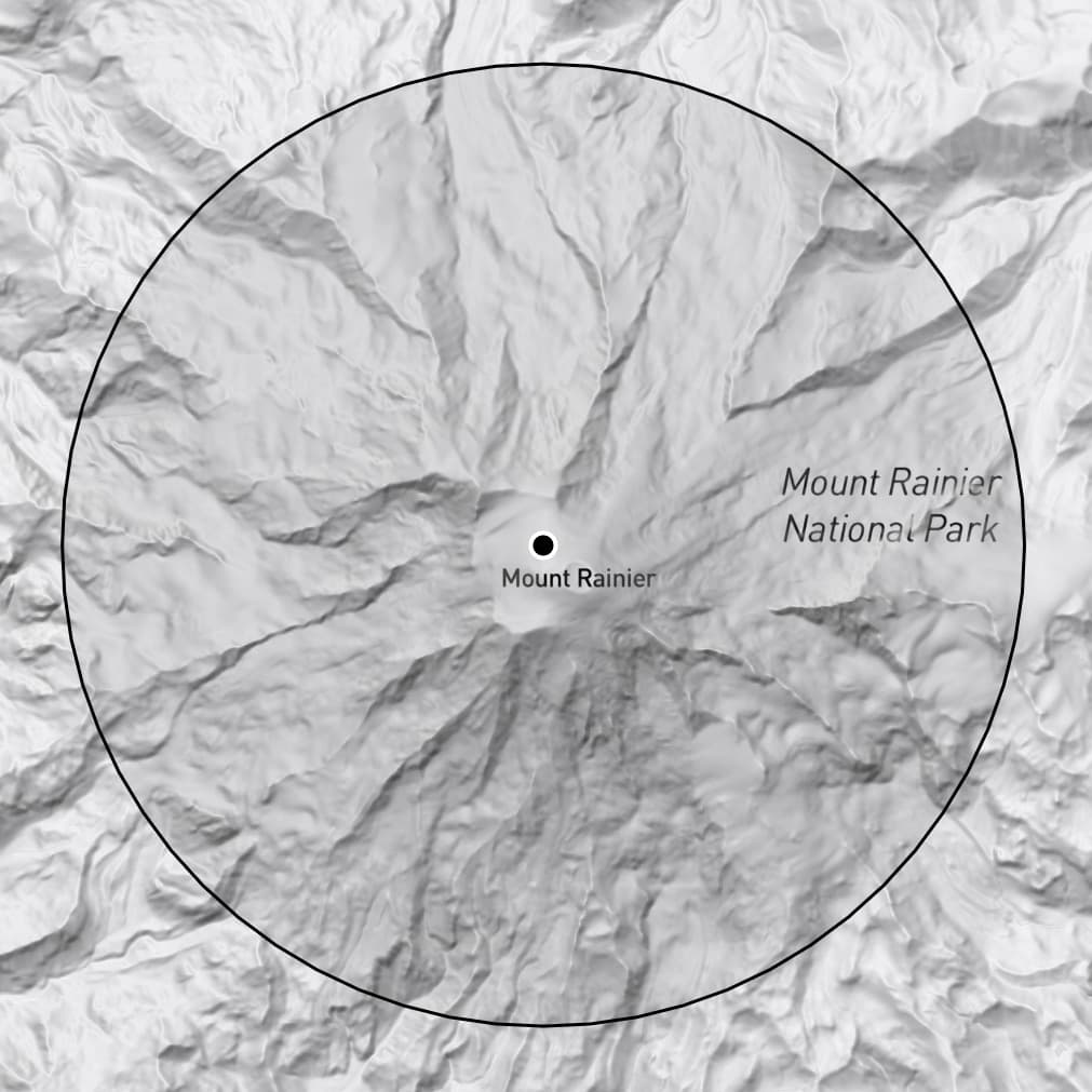
Real terrain, real data
Every ridgeline, saddle, and drainage captured from the highest-resolution satellite terrain data available.
02Aluminum & brass
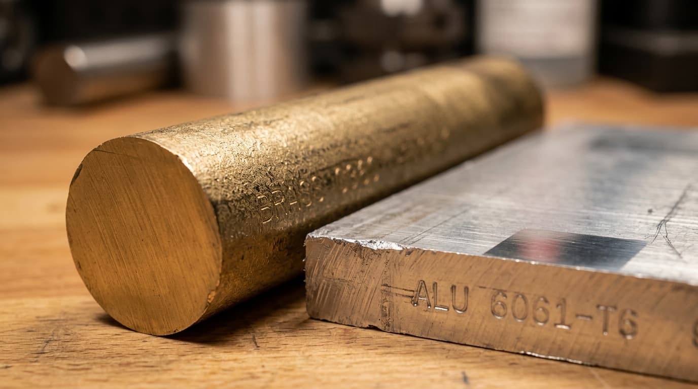
Solid metal, no shortcuts
6061-T6 aluminum or C36000 brass. Each piece CNC-machined from a single billet — not cast, not printed, not assembled.
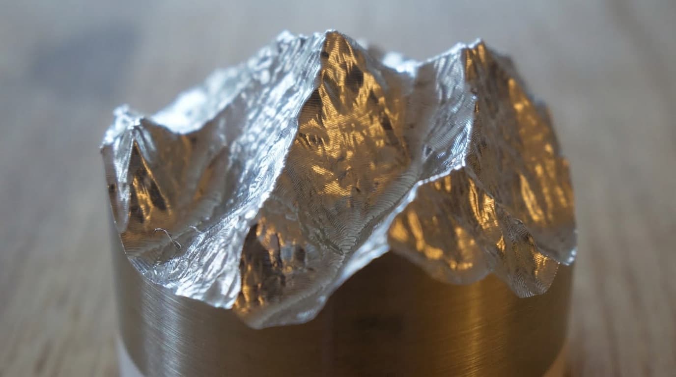
035-axis CNC
Contour by contour
Five simultaneous axes of motion. Every toolpath calculated, nothing approximated.
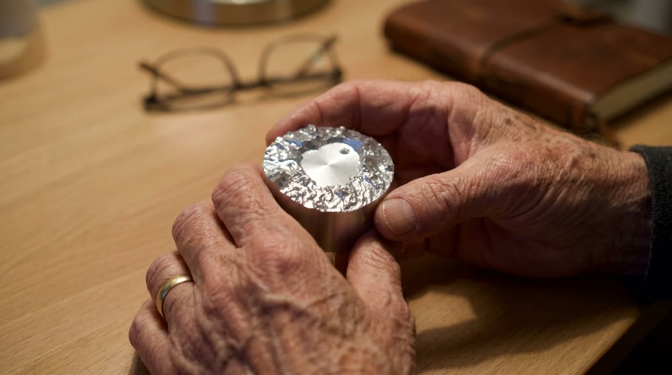
04Three finishes
Raw, blasted, or polished
Leave the tooling marks. Blast it matte. Or take it to a mirror. Your call.
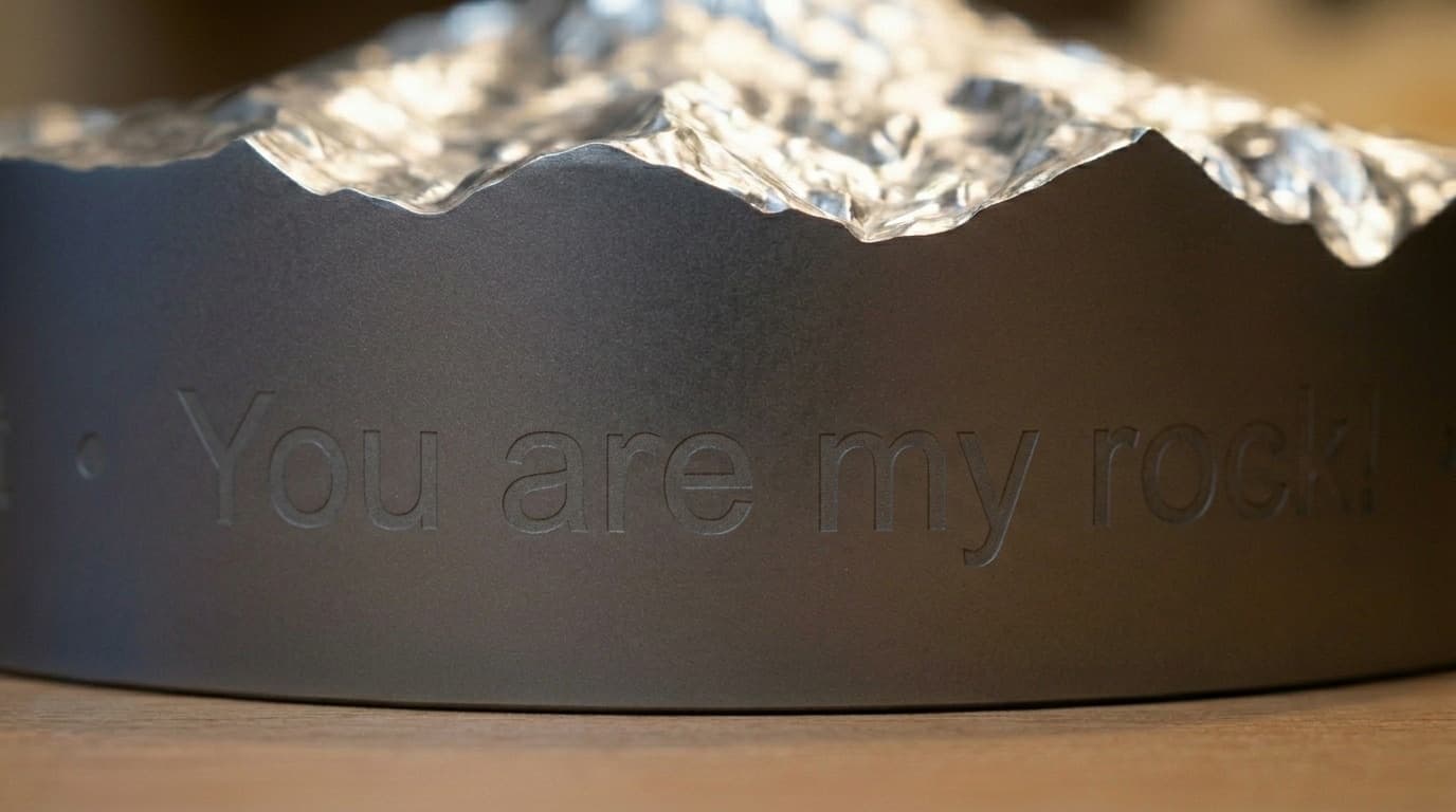
05Custom engraving
Personalized on every side
Coordinates, names, or dates laser-etched on the side walls. Contour lines on the base.
06Made to keep
A gift worth holding onto
Mark a proposal, a summit, a hometown, a memory. The kind of object people keep on their desk for decades.